Direct Rainfall Modelling
We developed bespoke direct rainfall hydraulic models to test different building locations and footprints, analysing surface water flow paths and flood displacement with each iteration.
Managing complex surface water flood risk to deliver a safe, resilient, and policy-compliant mixed-use redevelopment on a challenging coastal site.
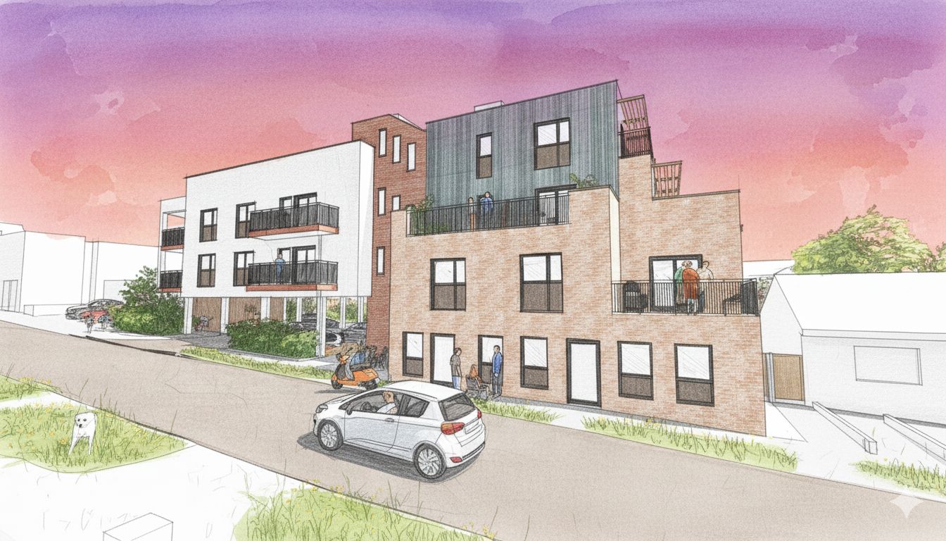
The redevelopment of this former public house into a mixed-use scheme with office space and residential flats presented significant flood risk challenges despite its favourable fluvial classification.
Environment Agency pluvial data showed the site was at high risk of surface water flooding, with potential flooding during a 1 in 30 year event. The chalk geology precluded infiltration-based drainage solutions, and building guidance standards required a 10m buffer distance from structures.
We developed bespoke direct rainfall hydraulic models to test different building locations and footprints, analysing surface water flow paths and flood displacement with each iteration.
Working iteratively with the design team, we matched the building footprint to the existing structure while adjusting access and layouts to minimise flood impact.
Ground floor space was allocated to less vulnerable commercial units, with residential uses placed on upper floors to manage residual risk.
Surface water and foul drainage design with on-site attenuation, connection to existing networks, and SuDS aligned with CIRIA C753 hierarchy guidance.
We engaged early with the Lead Local Flood Authority and Southern Water to ensure our drainage strategy aligned with their requirements and expectations.
This proactive approach avoided late-stage objections and ensured a smooth planning process with no technical holdups.
A safe, resilient, and policy-compliant redevelopment that successfully managed surface water flood risk while avoiding increased flooding to neighbouring areas.